This site focuses on the work I did prior to joining the U.S. Geological Survey in 2022. To learn more about what I’m doing now, check out my USGS Staff Page!
What does it look like underneath a volcano? Where is the magma, and how much is there? How might that magma interact with local faults and hydrothermal systems? What’s making that volcano inflate – a buildup of magma about to erupt, or something else?
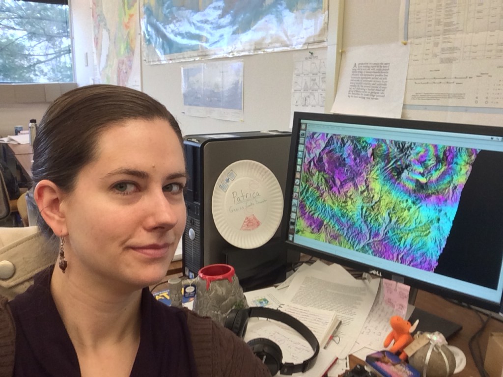
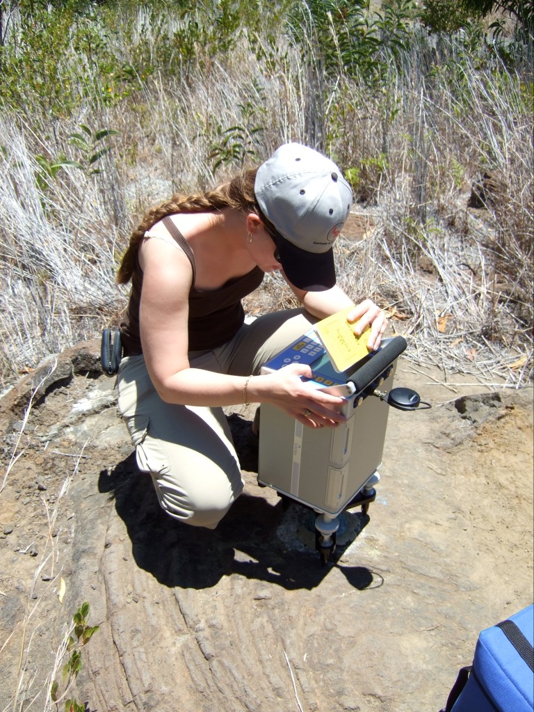
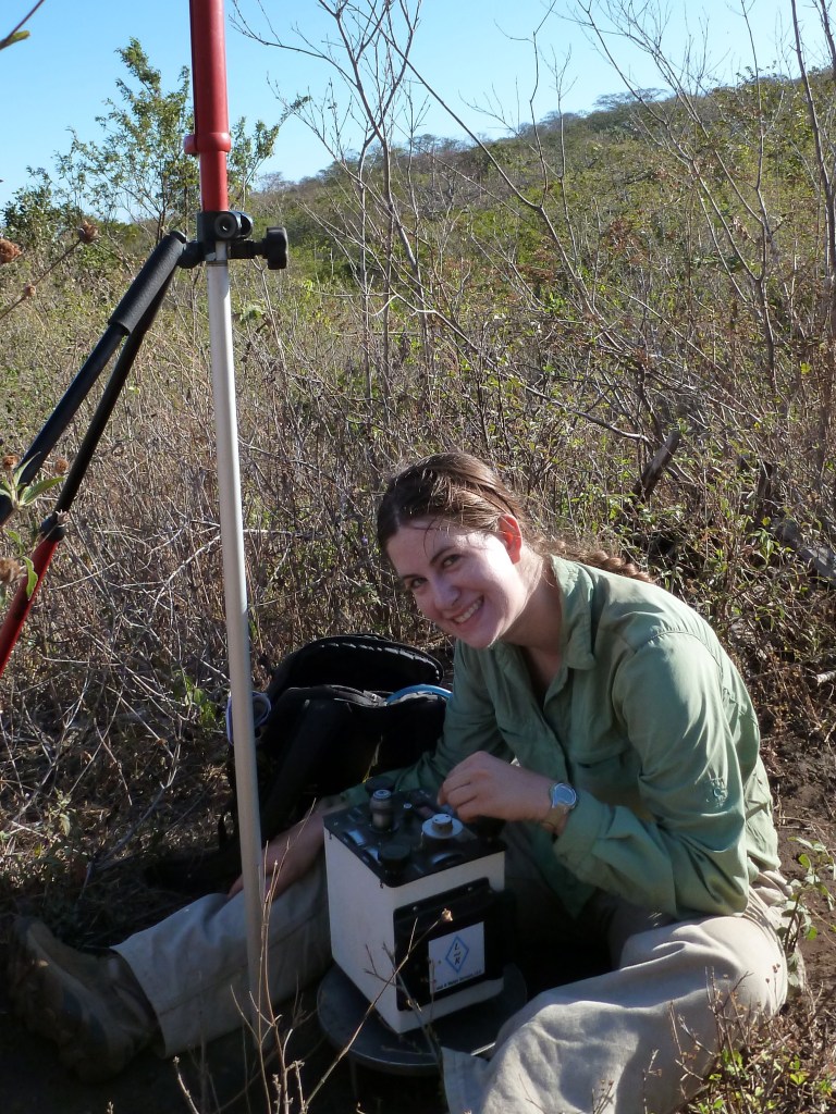
These are some of the questions I try to answer through my research. My primary tools come from geodesy – InSAR and gravimetry. However, I always analyze my data in a multi-parameter framework, drawing insights by comparing my results with other work in petrology and geochemistry, seismology, and other ground and satellite-based geophysical methods. From simple comparisons to advanced analysis using techniques from “big data”, my work advances our understanding of volcanoes by making full use of our scientific senses.